Intelligent Infrastructure, Simplified
GIS - Field Data Management - Remote Sensing - Digital Twins
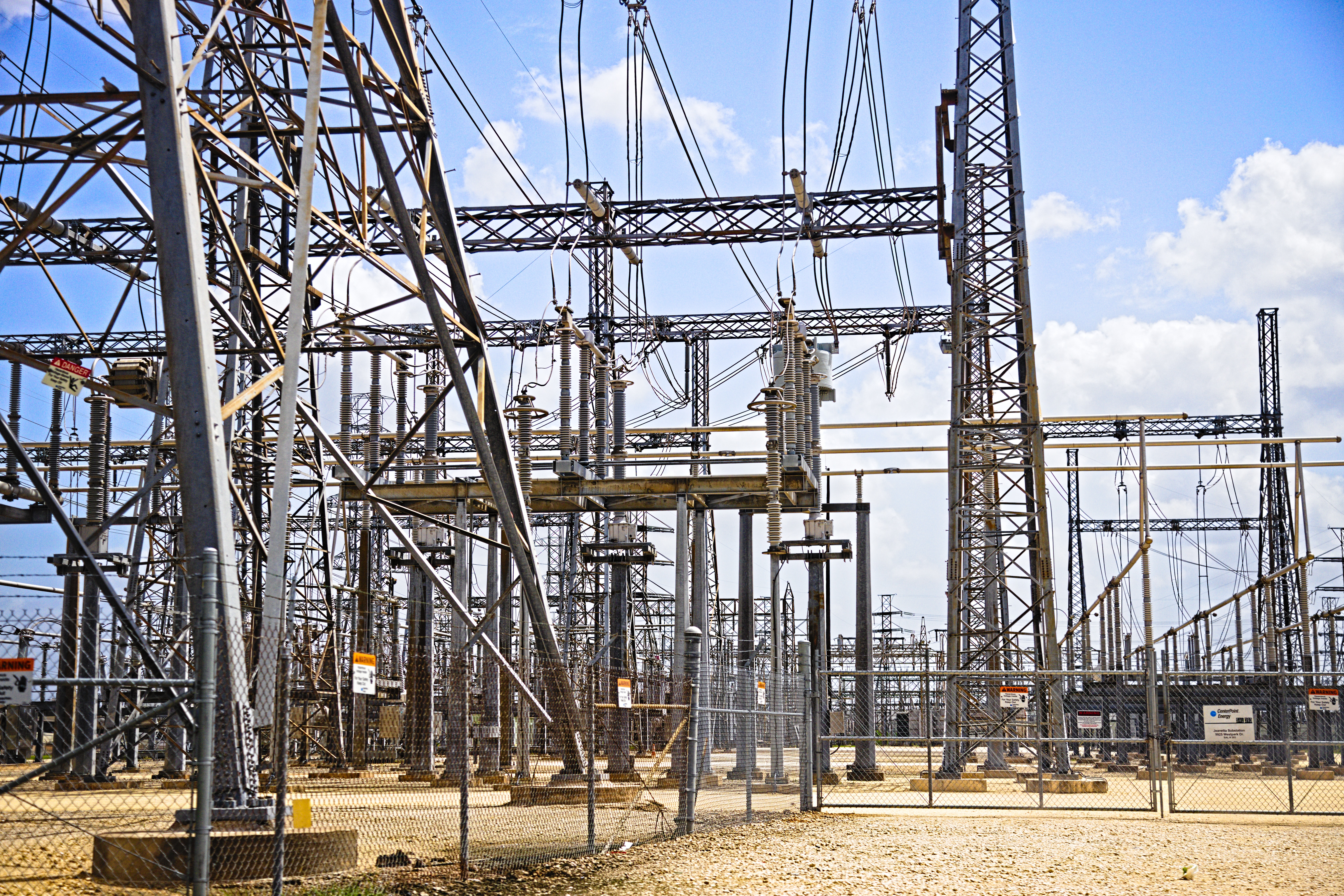
Digital Solutions for Utility Management.
Specialized Consulting.
Technical Services.
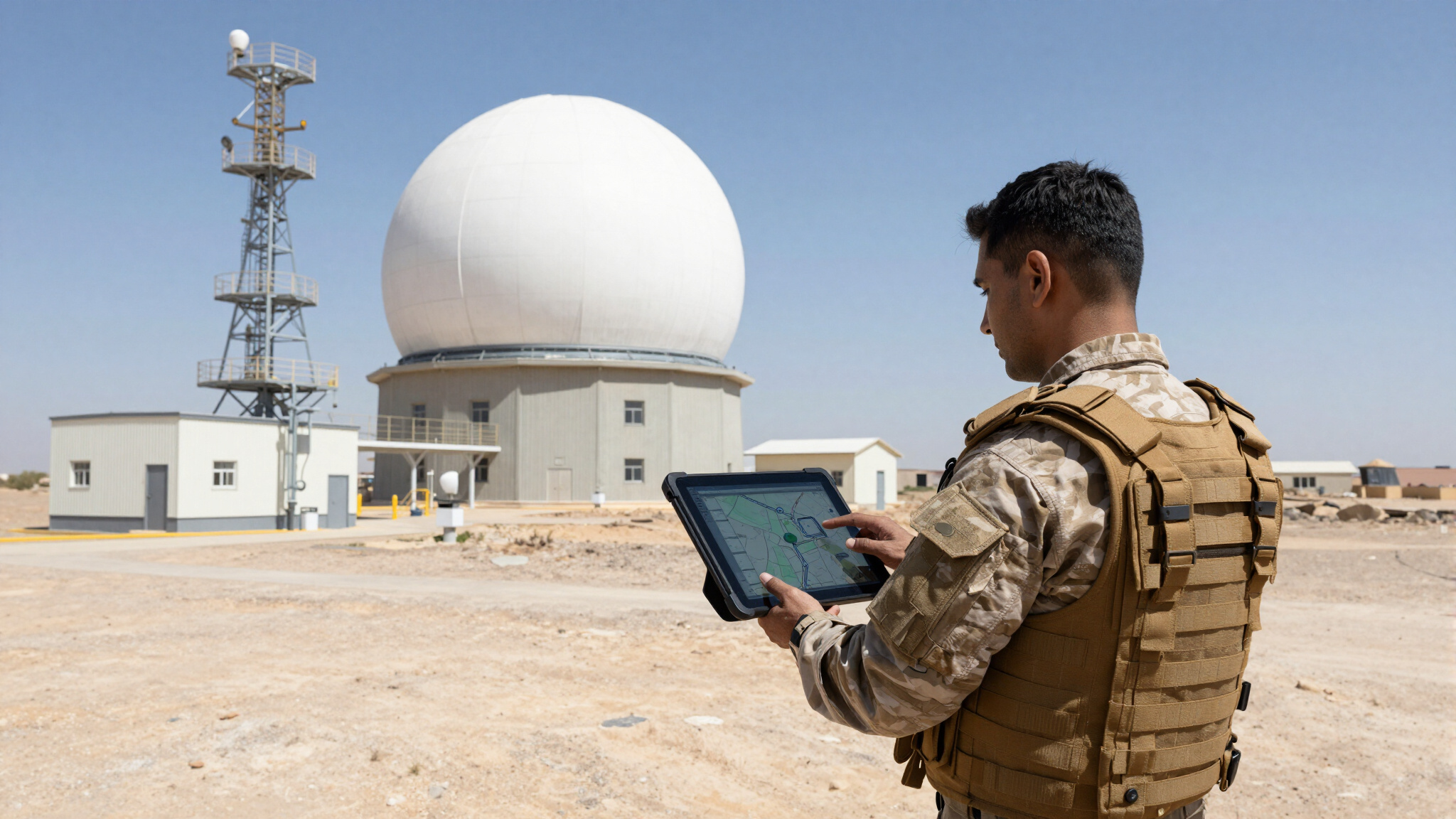
Advanced Tools.
Accelerate your Business.
Improve your Data Management.
ENSense Analysis Suite
Our Nodal Analysis tools bridge the gaps between your current systems, building connections between information silos and providing actionable utility management through a map-based user interface.
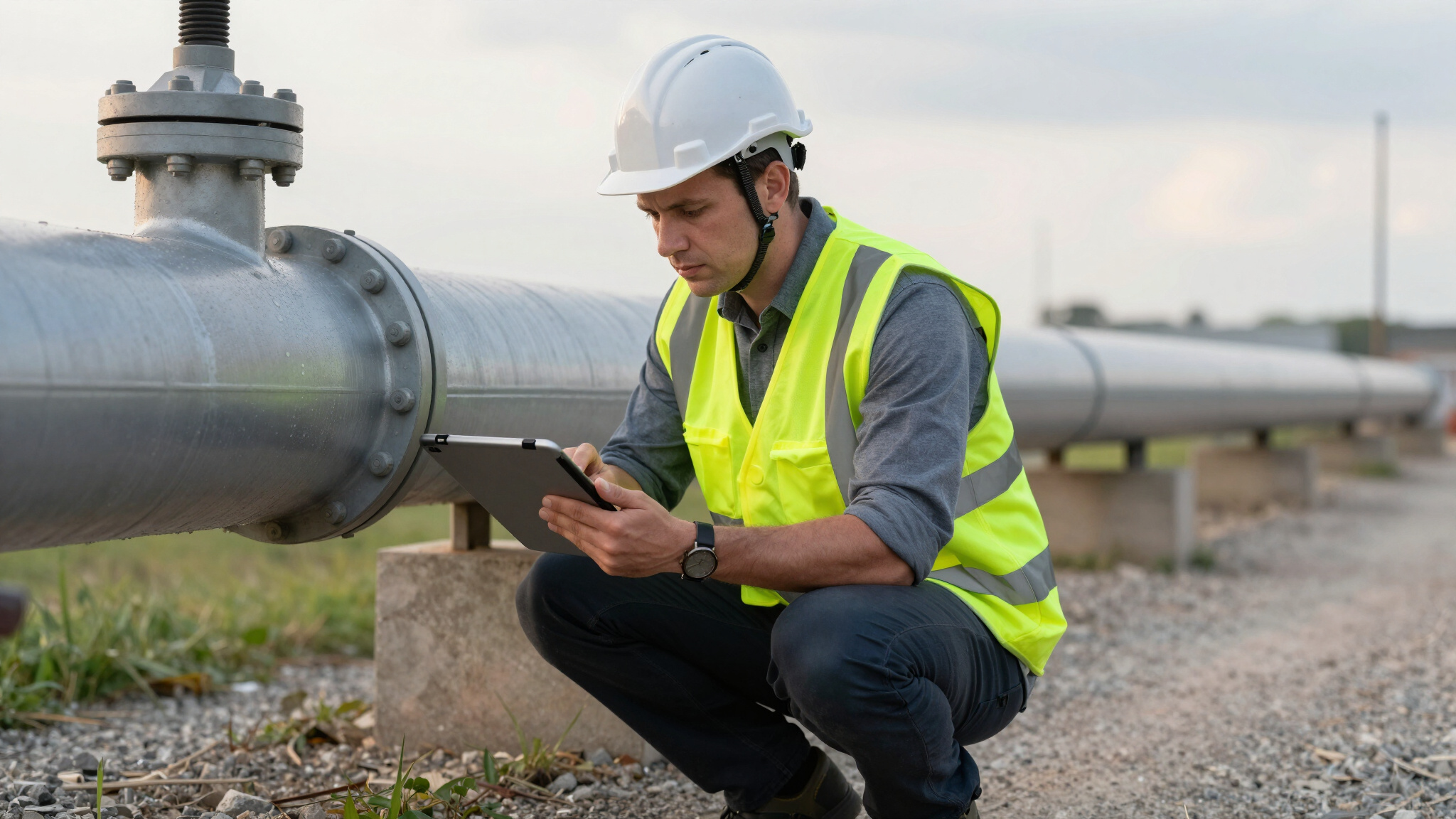
Field Work Solutions
Field-to-Office-to-Field GIS workflows and digital solutions for project data management.
Our Services
Our Solutions
Better data leads to better and more confident decisions.
This is ENSense Analysis.
ENSense Solutions bridges the gaps between your current systems, building connections between silos and providing actionable utility management through a map-based interface.
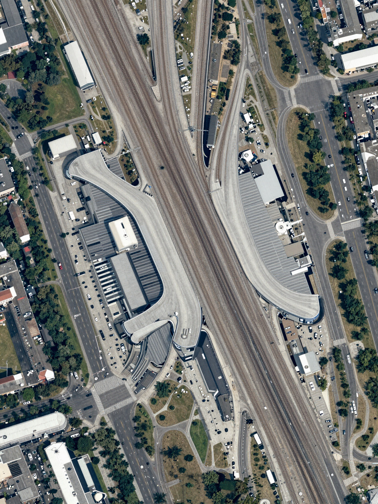
See what you couldn't see before, in an entirely new way.
Our specialized ENSense Analysis tools are built from your existing systems, using your existing data, and give decision makers the clarity needed to monitor, maintain, and optimize critical infrastructure to enable more informed decision making and operational awareness.
We tailor the ENSense Analysis solution for each client; DOD, Municipal, Ports, Airports, or anyone operating an infrastructure network or multiple networks to ensure mission readiness.
GIS - Field Data Management - Remote Sensing - Digital Twin Experts
Digital Solutions for Infrastructure Management
At ENSense Solutions we believe the road to Digital Transformation is a series of steps, with each step bringing increased value to your or your client's business, and each step can be taken as a separate project. Whether it is for your business or one of your projects, we integrate and improve GIS data quality and utility management systems to break down silos within the business through innovative tools and techniques, accuracy, and professional expertise.
The process begins with analyzing the client's digital landscape to identify existing systems and potential areas for improvement.
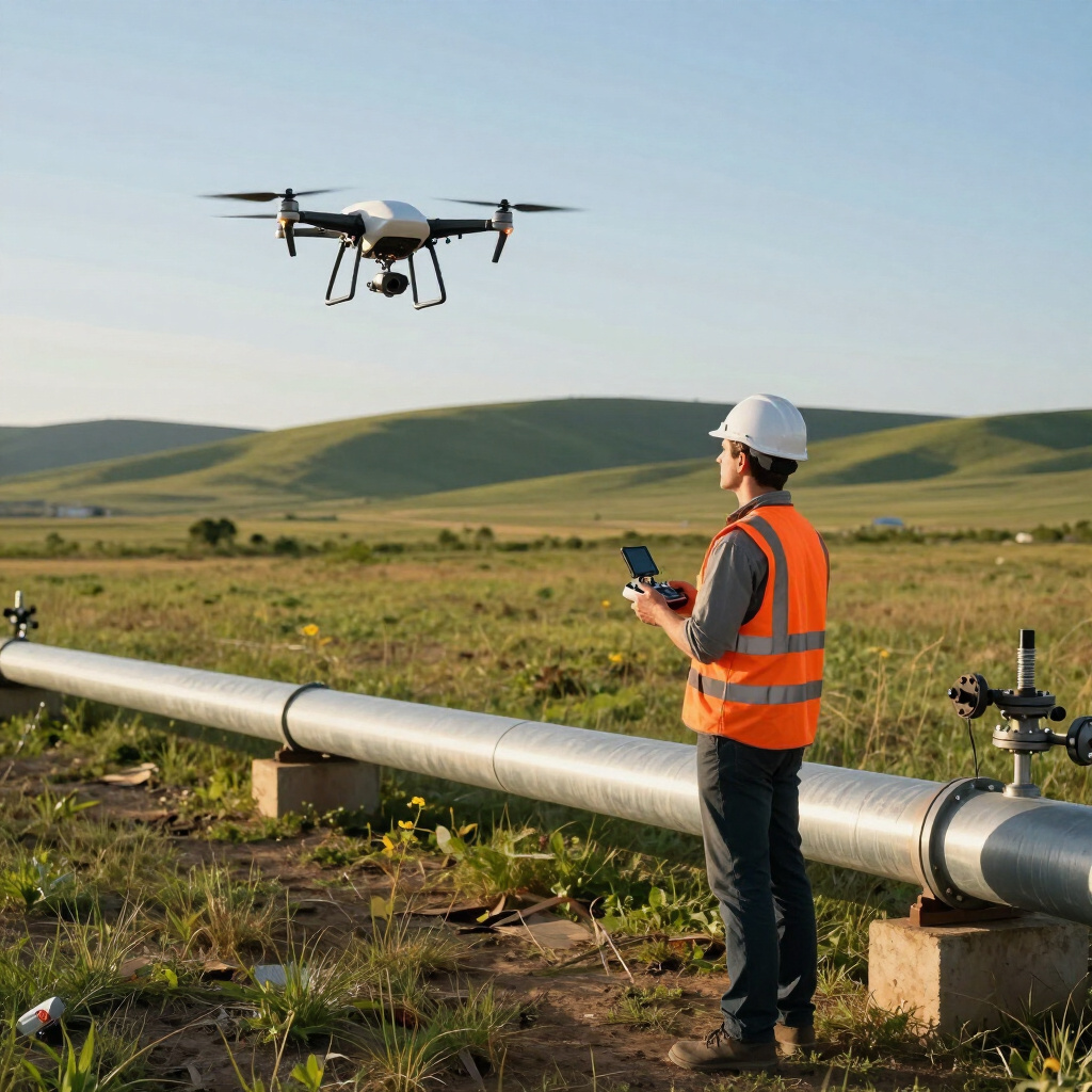
We then provide specialized field data validation and collection workflows to optimize your infrastructure network data, using advanced tools: AI, Remote Sensing, Integrations and Digital Solutions while at the same time reducing the cost of improving it.
When the pieces are in place, we begin connecting the Nodes, giving life to the Digital Twin.
We turn your data into actionable intelligence.
• ACCELERATE Data Collection with Advanced Tools and Remote Sensing
• IMPROVE Data Quality and Decision Making
• DEEPEN Analysis of Critical Utility Assets


